Cherish
Cherish is a tool that aids archaeologists and designers to represent historical, urban and archaeological structures and sites in 3D by means of image manipulation and sketching. Cherish creation was inspired by a Yale’s Dura Europos dataset - a large image dataset of an ancient site which is located in modern Syria. One of the main characteristic of the data set is its sparse and featureless natures of photographs which does not allow us to utilize the modern computer vision in order to obtain 3D representation of the site.
The main idea behind Cherish is to use the knowledge and expertise of specialists in order to perform semi-manual data organization. Therefore, given a problem of disparate data types such as photographs, illustrations, diagrams, text annotations, point cloud representation, etc., Cherish aims to provide a tool to combine all the above data into a comprehensive 3D space, i.e., to make 3D sense of the data.
Note: Cherish is currently under development.
{.notice–info}
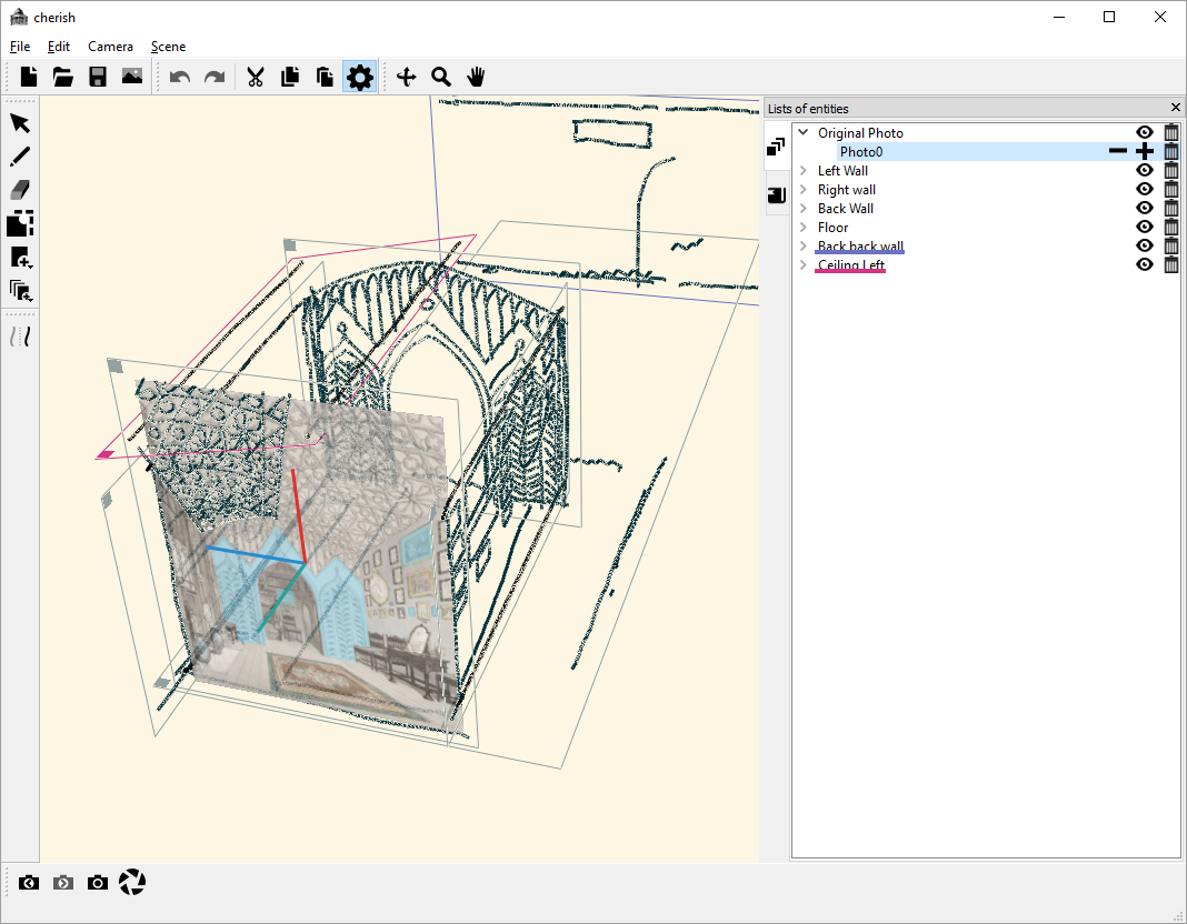

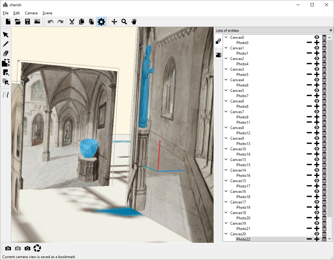
Cherish screenshots.